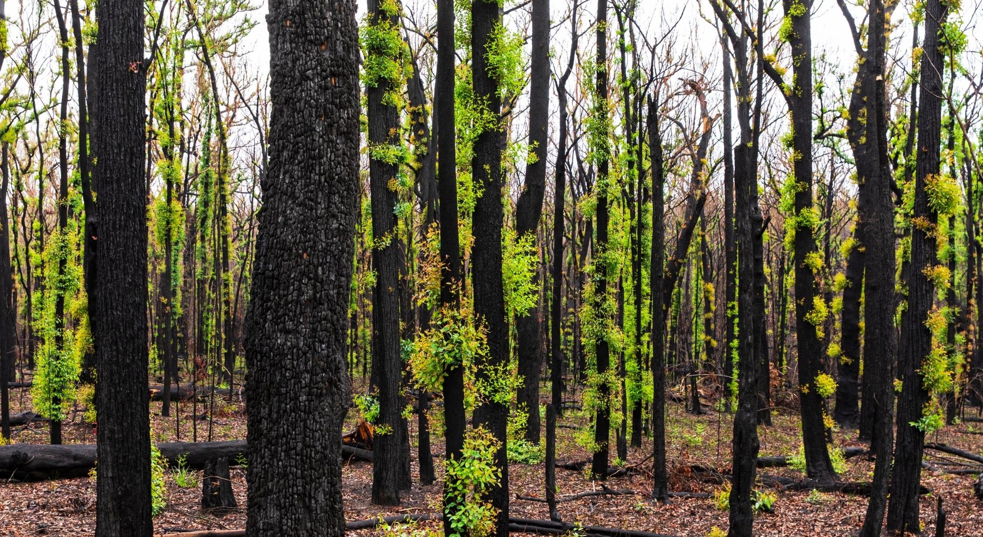
The 2019 bushfire season was one of the most devastating in recent history. The fires destroyed More than 10 million hectares of forest, businesses, and homes across Queensland, New South Wales, and Victoria. With summer on the horizon, it’s important to ensure you prepare your fleet for this the upcoming bushfire season.
When you have workers operating in remote locations, it’s vital that you have the tools to react to fast-moving situations. Tools such as fleet tracking and emergency duress buttons provide an important safety net for lone workers. These provides peace of mind for both you and your staff; You know where they are, and if they get into trouble they can send a message back to base.
This is especially important when considering how the summer bushfire season is going to change in the future. The Bureau of Meteorology announced that Australian summers are going to start earlier, last longer, and be more intense. To combat this, Fleet Managers need to be proactive, rather than reactive, when it comes to keeping their most important assets safe from bushfires.

Earlier this year, Smartrak staff were called as witnesses in the Royal Commission on National Natural Disaster Arrangements. Casey Molloy, Smartrak’s Director of Sales and Eugene Bilgnaut, Smartrak’s Solution Engineer were asked to discuss how Smartrak’s technology could be used to help before, during, and after natural disasters. It is clear that having the ability to track both assets and bushfires in real time is going to become even more important in the coming years.
Smartrak offers a number of fleet tracking solutions, enabling our customers to track their vehicles in real-time. Our mapping system has a variety of Geographical Information System (GIS) layers that can enhance the base map. GIS layers are used to add unique information or company-specific assets. They can also be an invaluable tool for monitoring and directing your fleet operations around natural disasters such as bushfires.
The data for the bushfire GIS layer is sourced directly from official sources such as the CFA, the NSW Fire Service, and the Queensland Fire Service. When activated on top of your base map, it can provide quick insights into where your staff are located, and how close they are to nearby fires. It also eliminates the need for juggle multiple websites, maps or apps in order to keep on top of the latest information.
If you notice that a worker has strayed too close to an active bushfire, our technology gives you the ability to proactively communicate with them. A text message sent to one of our Garmin 790s, or a call via satellite might be the difference between getting out safely or a terrible tragedy.
The Australian Bushfire Overlay is available to all Smartrak customers. To activate it, simply log in to your account at smartrak.com. Once you are looking at your map, simply click on the layers icon in the top right hand corner. From there, select the “bushfires” option from the list.
This summer make sure you have the right tools at your disposal. Use the Bushfire GIS overlay to ensure your workers and assets stay safe.